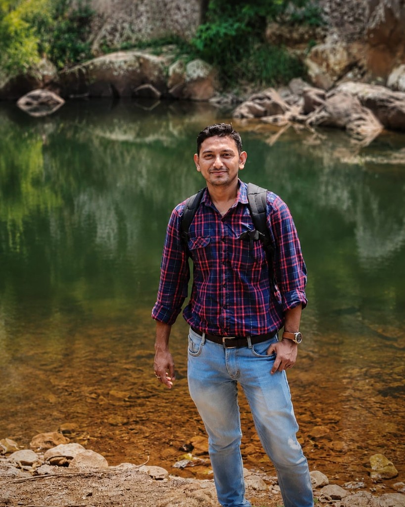
Geographer · Educator · GIS & Remote Sensing
Saikat Maity
A geographer, educator, and environmentalist with a foundation in Geography, Education, and Geospatial Technology — bringing geographical analysis, spatial tools, and teaching practice to research, classrooms, and conservation.
- FOCUS
- Geo · Edu · GIS
- EXPERIENCE
- 15 years of teaching
- TOOLS
- GIS & Remote Sensing
- BASED IN
- Behala, Kolkata
Reading the world, then putting it to work.
Geography is how I make sense of the world — and for fifteen years it has also been how I teach, research, and give back. My work moves between the classroom, the GIS lab, and the field, where academic knowledge meets practical application: helping students think spatially, and helping planners and communities make better decisions about land, water, and life.
Education
01 · CU
M.Sc. Geography
University of Calcutta
02 · NSOU
M.A. Education
Netaji Subhas Open University
03 · CU
B.Sc. (Hons) Geography
University of Calcutta
04 · CU
B.Ed
University of Calcutta
05 · JU
GIS & Remote Sensing
Jadavpur University
Classroom, lab, and field.
01 · 15 years · All levels
Teaching
Guiding students toward conceptual clarity and practical learning — with many going on to strong results in Geography examinations.
02 · Professional practice
GIS & Remote Sensing
Applying geospatial technologies to mapping, spatial analysis, environmental studies, and resource management, turning raw spatial data into something planners and researchers can act on.
03 · State & Government of India
Government projects
Geospatial data collection, GIS mapping, environmental assessment, and field-based research contributed to several State and Central Government projects supporting planning and sustainable development.

RS & GIS
From satellite to map.
01 · Satellite
Remote Sensing
Satellite imagery turned into maps, assessments, and decisions — for teaching, government projects, and environmental work on the ground.
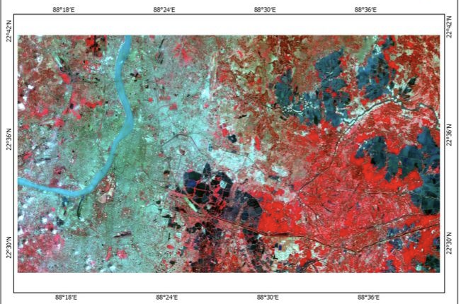
False colour composite
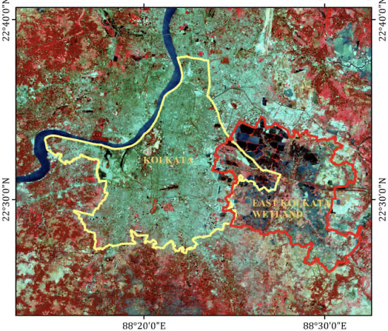
Kolkata & East Kolkata Wetland
Image analysis
Reading satellite scenes for land cover, change, and resource patterns.
Spatial mapping
Turning geospatial data into clear maps for planning and research.
Field validation
Checking what the sensor sees against what the landscape shows.
Decision support
Feeding spatial insight into disaster, environment, and land-use work.
02 · Systems
GIS
Geographic Information Systems for building spatial databases, analysing layers, and producing maps that support planning, research, and classroom teaching.
Spatial analysis
01Overlay, buffer, and proximity work that reveals patterns in the landscape.
Data layers
02Organising vector and raster layers into usable geospatial databases.
Cartography
03Clear, purposeful maps for reports, teaching, and field decisions.
Project mapping
04GIS support for State and Central Government planning and assessment.
Charts and models, made by hand.
Scroll →
Creating educational charts and creative models for schools and colleges is my passion. I enjoy designing attractive, informative, and innovative projects that make learning more interesting and engaging.
I create Science Charts & Models, Geography & History Projects, Mathematics Charts, Environmental Science (EVS) Projects, Educational Exhibitions, School & College Assignment Models, and Handmade Creative Charts.
Every project is prepared with creativity, accuracy, and a neat presentation.
If you need customised charts or models for your school, college, exhibitions, or academic projects, feel free to contact me. Get in touch.
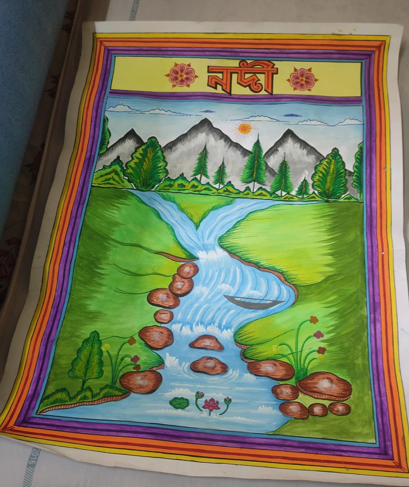 MD-01Chart
River
A hand-painted chart of a river landscape — নদী — for classroom teaching. 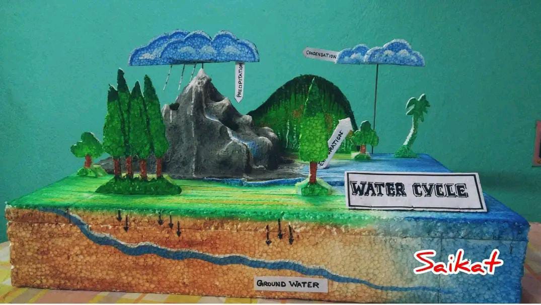 MD-02Teaching model
Water cycle
Evaporation, condensation, precipitation, and groundwater — built in three dimensions. 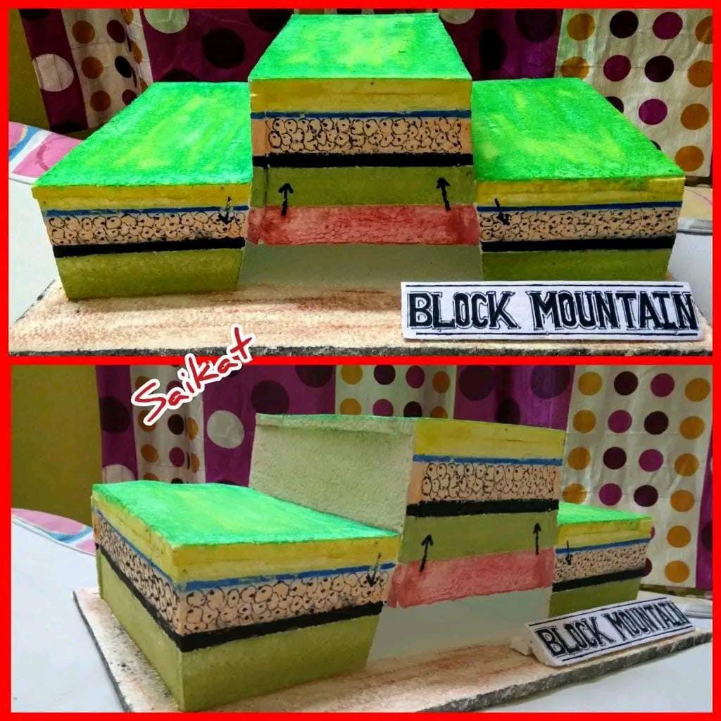 MD-03Teaching model
Block mountain
A layered model of uplifted crust — horst and graben made tangible. 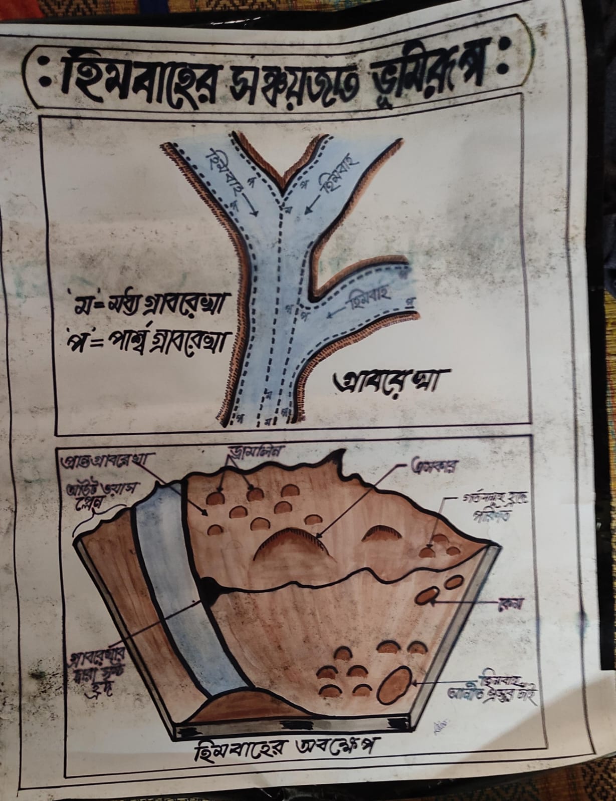 MD-04Chart
Glacial landforms
Depositional features of glaciers — moraines, drumlins, eskers, and outwash plain. 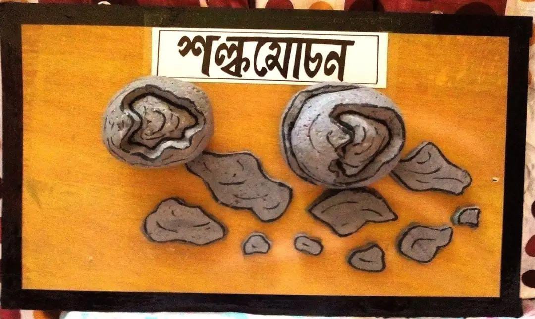 MD-05Teaching model
Exfoliation
Spheroidal weathering — শল্কমোচন — shown as rock peeling in layers. 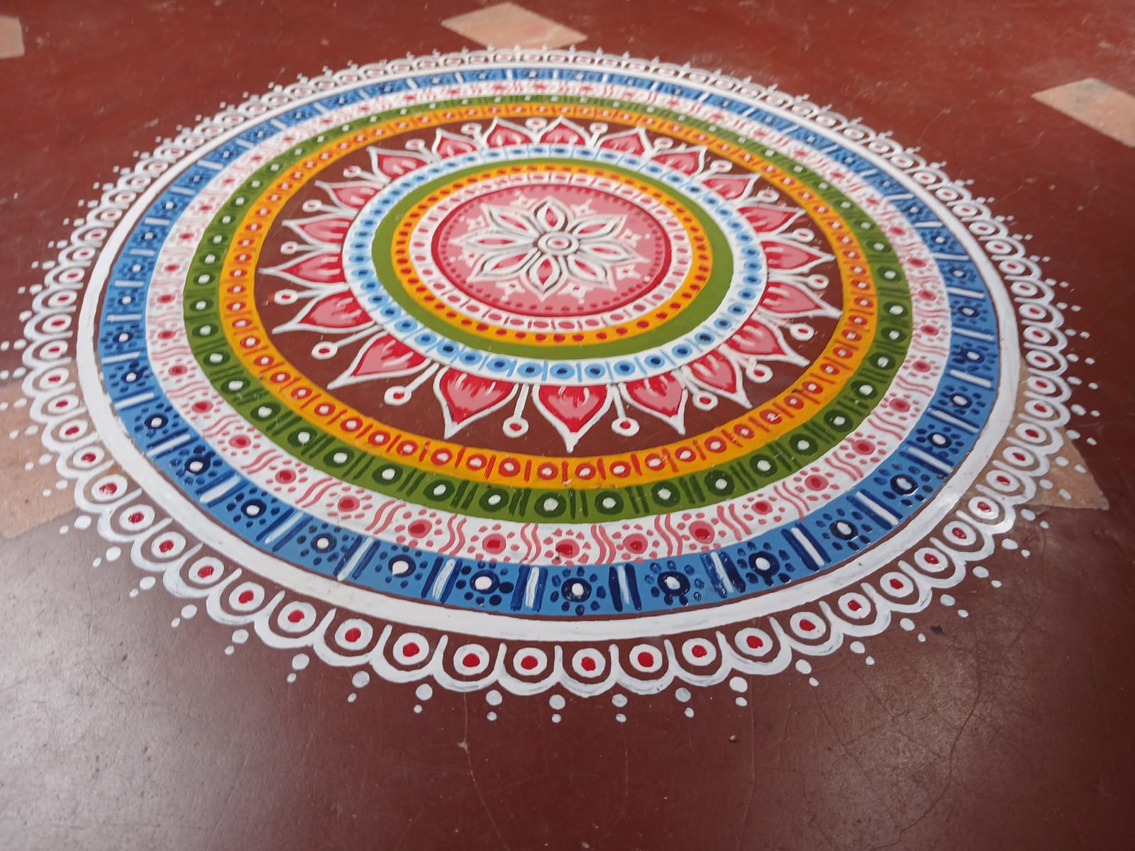 MD-06Folk art
Alpana
A concentric floor design in white, yellow, green, and blue on terracotta. 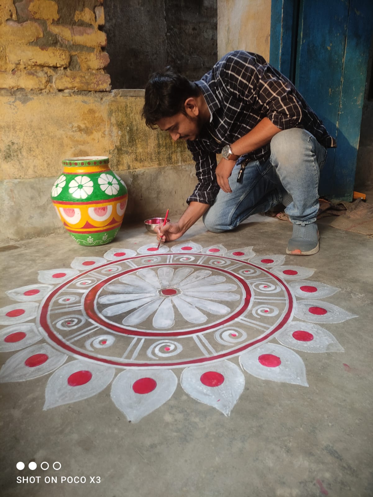 MD-07Process
Making alpana
Painting a mandala-style floor design outdoors — craft as living practice. 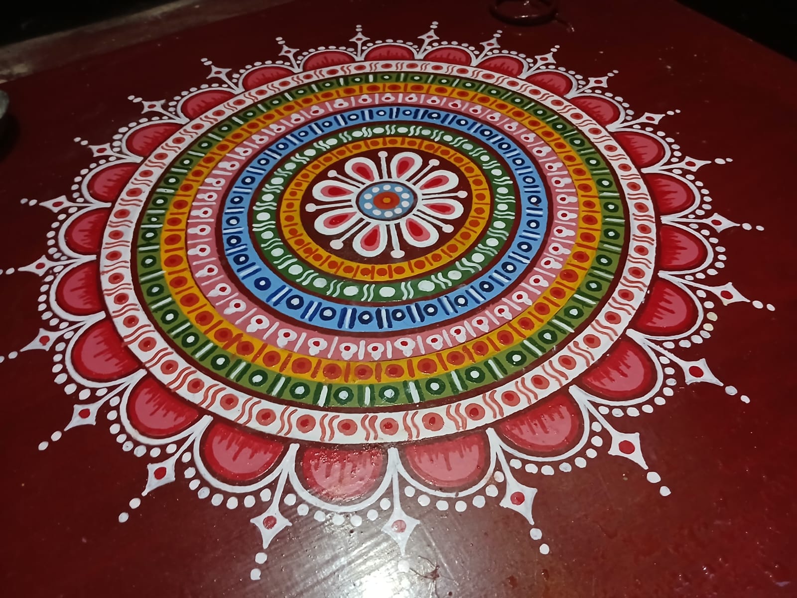 MD-08Folk art
Rangoli
A radial mandala on maroon ground — pattern, colour, and symmetry. 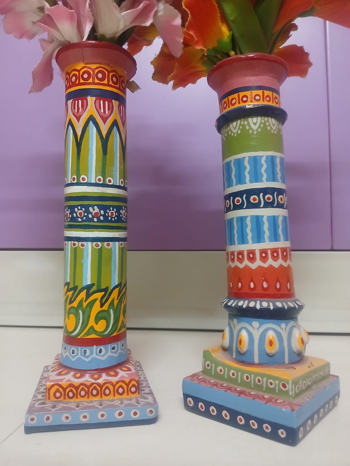 MD-09Craft
Painted pillars
Hand-painted decorative pillars in folk colour — green, blue, orange, and red. 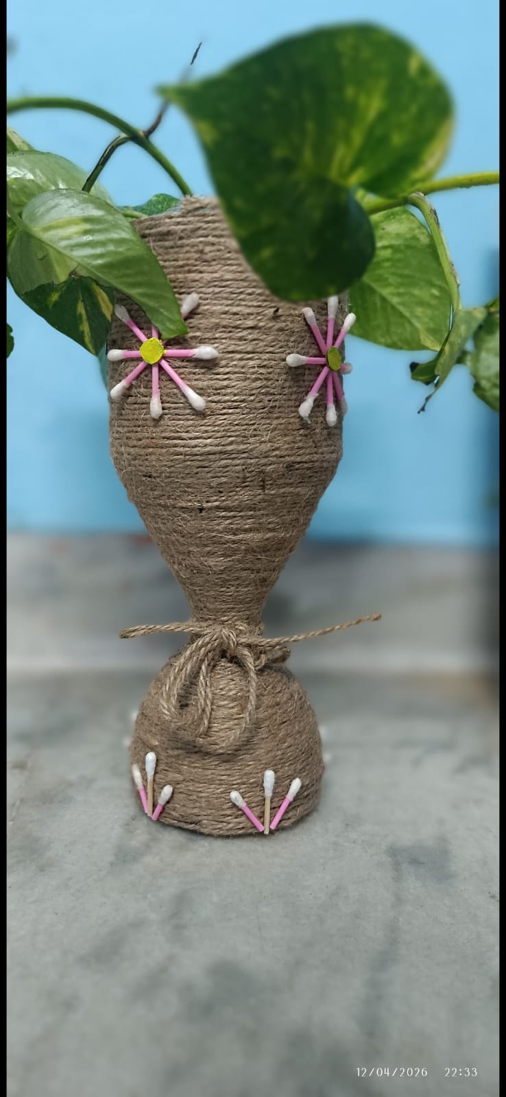 MD-10Craft
Jute planter
An upcycled vessel wrapped in jute, finished with cotton-swab flowers and a living plant.
Survey tools, taught by hand.
Field kit · 8
Beyond maps and models, Saikat teaches the instruments of field geography — levelling, angular survey, compass work, GPS, and environmental measurement — so students learn to observe and measure the landscape themselves.
STN-01
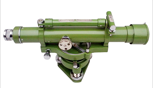
Levelling
Dumpy level
A classic tilting level for reading staff heights and establishing reduced levels in the field.
STN-02
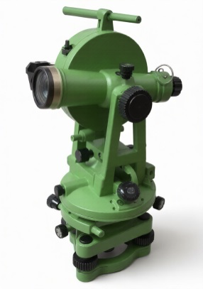
Angular survey
Theodolite
Measures horizontal and vertical angles — the backbone of traverse and triangulation work.
STN-03
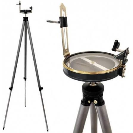
Direction
Surveyor's compass
Tripod-mounted compass with sighting vanes for magnetic bearings and orientation in open country.
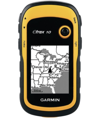
STN-04
Positioning
Handheld GPS
Garmin eTrex for waypoint logging, track recording, and locating sample points in the field.
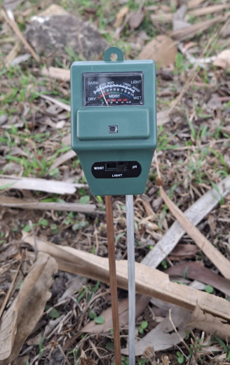
STN-05
Field kit
Soil tester
A 3-in-1 probe for moisture, light, and pH — quick readings when soil and vegetation matter.
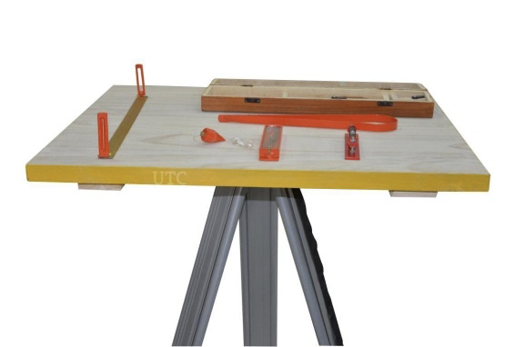
STN-06
Graphic survey
Plane table
Board, alidade, trough compass, and plumbing fork — mapping features by sight as you stand on site.
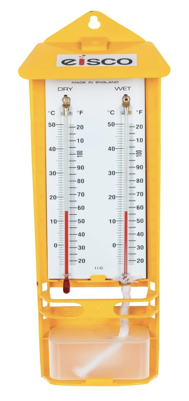
STN-07
Atmosphere
Mason's hygrometer
Wet- and dry-bulb thermometers for relative humidity — a staple of microclimate observation.
STN-08
Slope
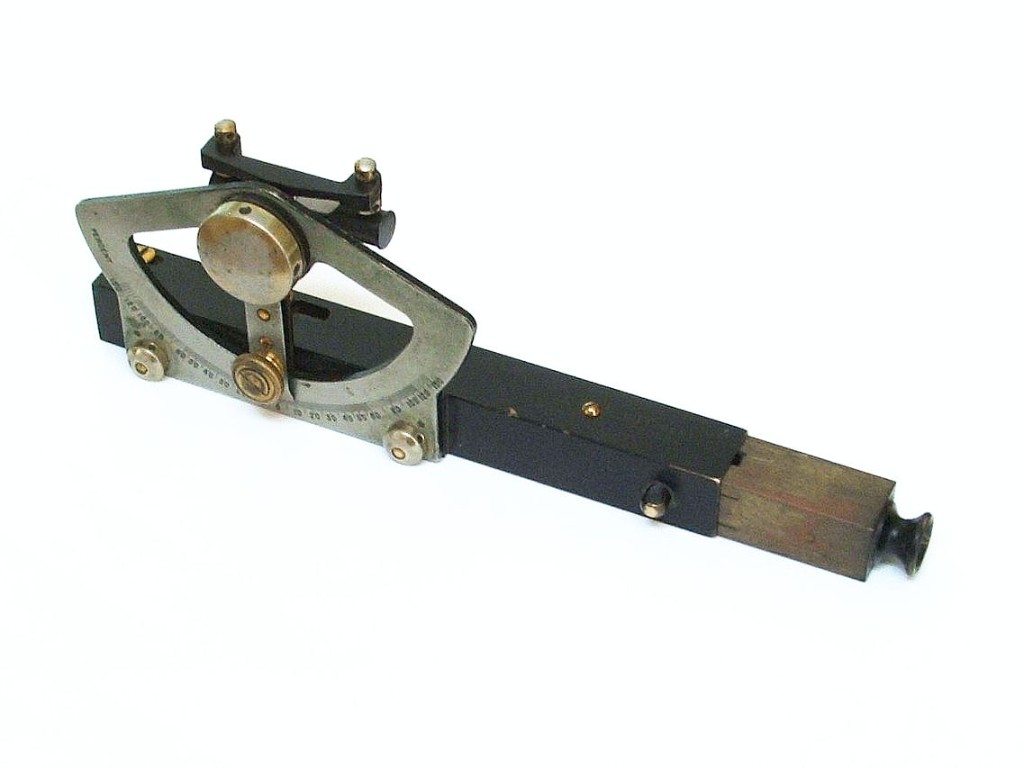
Abney level
A hand-held clinometer for measuring slopes and vertical angles — compact enough for steep, rough ground.
Save Nature, Save Life.
Est. 2022 · Bharati Society
“Nature is our greatest treasure. Protecting nature means protecting humanity.”
Bharati Society is a non-governmental organisation committed to environmental protection and community development. Established in 2022, it works with the vision of a greener, cleaner, and healthier society.
The motto “Save Nature, Save Life” reflects a simple belief: human well-being depends on protecting natural resources. The organisation encourages people to conserve water, soil, trees, and biodiversity — and to take environmental responsibility seriously.
It regularly organises tree plantation drives, cleanliness campaigns, awareness programmes, and community participation activities. Even small actions by individuals can create a lasting positive impact on society and the environment.
Young people are invited to become active volunteers and take responsibility for protecting nature. Through teamwork and public participation, Bharati Society aims to build a sustainable future for the next generation.
Every tree planted, every drop of water saved, and every awareness programme conducted is a step toward a healthier planet. Together, we can make a meaningful difference.
Focus of the work
Water
01Conserving every drop — awareness and practice around shared water resources.
Soil
02Caring for the ground that sustains crops, trees, and communities.
Trees
03Plantation drives that put living cover back into neighbourhoods and open land.
Conservation
04Cleanliness campaigns, biodiversity awareness, and everyday environmental care.
 EX-012024
22.45° N, 88.25° E
South 24 Parganas
Shared ground
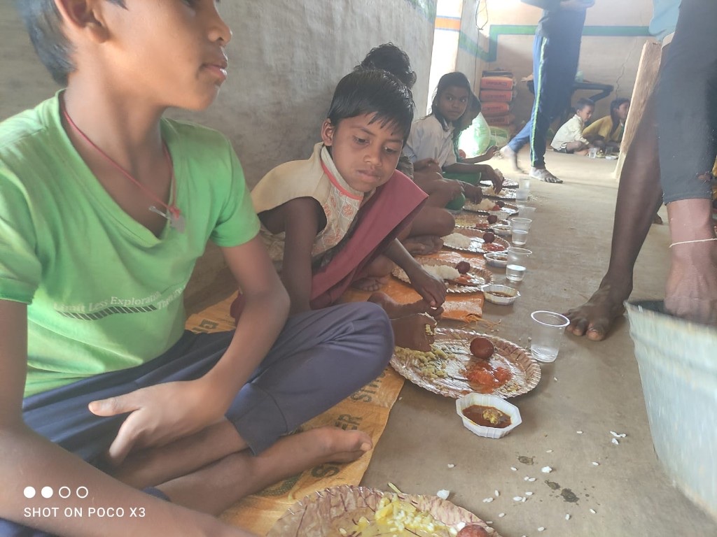
A simple meal after a day outdoors — geography lived together, not just studied.
 EX-022024
22.50° N, 88.24° E
Bharati Society
Save nature, save life
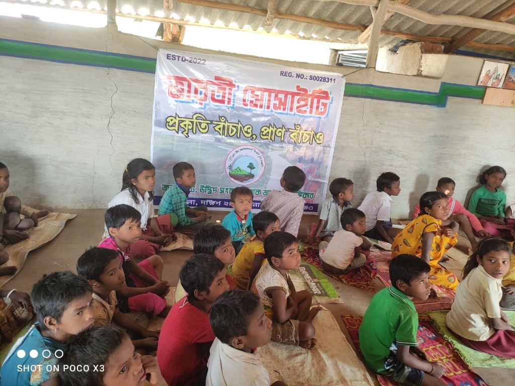
Young minds gathered around one idea: make the environment lovable for people.
 EX-032024
22.51° N, 88.25° E
Maheshtala
Water, soil, plants
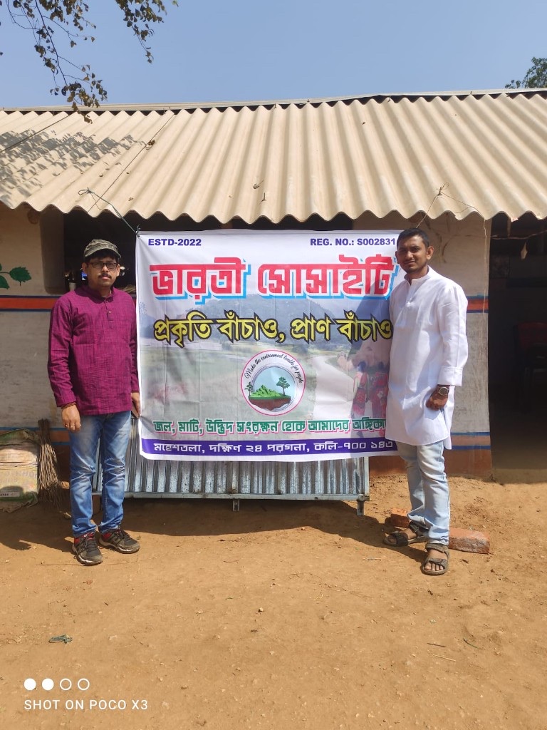
Field work for conservation — carrying the promise that land and life stay connected.
Let's talk geography.
Teaching, GIS projects, field research, or a shared interest in sustainable places — reach out anytime.
Based in Behala, Kolkata